18 Attractions to Explore Near Dammastock
Top Activities Near Dammastock
Filter By Date
//
Sort By

Attractions & Activities Near You
Checkout attractions and activities near your current locationAll attractions near Dammastock
Damma GlacierThe Damma Glacier is a 2 km long glacier situated in the Urner Alps in the canton of Uri in Switzerland. In 1973 it had an area of 5.09 km². It is one of the beautiful places in this area suitable for trekking and also gives some beautiful views of this area.
GalenstockThe Galenstock is the fourth highest mountain in the Urner Alps in Switzerland. Its summit ridge lies on the border between the cantons of Uri and the Valais. It was first climbed by Eduard Desor, Daniel Dollfuss, Sr., and Daniel Dollfuss, Jr., with guides H. Währen, M. Bannholzer, P. Brigger and H. Jaun on 18 August 1845.
Rhône GlacierThe Rhône Glacier is a glacier in the Swiss Alps and the source of the river Rhône and one of the primary contributors to Lake Geneva in the far eastern end of the Swiss canton of Valais. Because the glacier is located close to the Furka Pass road it is easily accessible. It is the largest glacier in the Urner Alps. The glacier is located on the northernmost part of the canton of Valais, between the Grimsel Pass and the Furka Pass, and is part of the Oberwald municipality. The Dammastock is th
GöscheneralpseeThe Göscheneralpsee is 1792 meters above sea level in the municipality of Göschenen in the canton of Uri. The lake has a maximum depth of 100 meters. The massive dam of the lake is considered to be the highest rock embankment in Switzerland. It is one of the picturesque locations in Uri and a lot of tourists have been attracted to this place.
GwächtenhornThe Gwächtenhorn is a 3,420 meters high mountain in the Urner Alps, located on the border between the cantons of Bern and Uri. It overlooks the Stein Glacier and the Susten Pass on its north side and the Chelen Glacier on its south side. Being covered by snow from the summit to the bottom, the north side of the Gwächtenhorn is much appreciated by skiers.
SustenhornSustenhorn is one of the most frequently visited mountains between the Bernese Oberland and Central Switzerland, due to its altitude and superb view and due to its multiple access from three sides. It is one of the ideal locations for rock climbing and also for other adventure activities. The mountain is about 3502 meters high and the views from the top are truly astonishing.
Furka PassFurka Pass, a mountain pass between Uri and Valais cantons of south-central Switzerland. It lies at 7,976 feet, just south of the Dammastock peak. It is crossed by road and railway, which connect Andermatt with Gletsch. The road, constructed mainly for military reasons, is now noted for its scenic views of the Rhône Glacier and of the Bernese and Pennine Alps. The railway, which passes through the mile-long Furka Tunnel, is part of a larger railroad system connecting eastern and western Switzerl
Stotzigen FirstenThe Stotzingen Firsten stands on the left side of the valley of river Furka, in front of Realp. It is an easy walking or a rather easy and safe ski-mountaineering from Realp to an excellent panoramic point in the heart of Central Switzerland. It offers beautiful views of the Vallis-Pennine and Lepontine Alps.
UrserenA beautiful valley which was located in the Upper Ruess. The valley was in possession of Disentis Abbey from 800. It was colonized by Walser settlers prior to the 12th century. It was one of the picturesque locations in this area. The view from this area is truly wonderful and it attracts a lot of tourists here.
FleckistockThe Fleckistock is a 3,417 metres high mountain in the Urner Alps, overlooking Wassen in the canton of Uri. It is the highest summit of the group lying east of the pass of Sustenjoch. This range, starting at the Stucklistock and ending at the Salbitschijen, separates the valleys of Voralp, above Göschenen and Meiental, above Wassen.
SalbitschijenSalbitschijen 2981 m is a granite peak belonging to the Urner Alps and overlooking Göschenental in the Swiss district of Uri, central Switzerland. This group is famous in reason of its compact and fine granite, which can stand comparison with M. Blanc. Although Salbitschjen is probably one of the most visited mountains by rock climbers in central Switzerland, it can hardly be seen from other peaks. It is surrounded by many higher and more impressive mountains like Dammastock, Fleckistoch, Susten
Susten PassThe Susten Pass street was just opened in 1945 and is the principal pass street to be reason worked for vehicular traffic.The compositionally breathtaking Susten Road for the most part serves tourism and is thusly one of the last to be cleared of snow, frequently staying shut from the earliest starting point of November until June. The course starts in Wassen on the Gotthard pivot, where it arranges the barbed estuary crevasse of the Meienreuss River by means of a few passages.
Grimsel PassThe Grimsel Pass links the Hasli Valley in the Bernese Oberland with Goms in Valais. The pass road runs through a wild, sparsely grown mountainous region marked by granite rocks, reservoir lakes, and power plants. A paved road follows the pass, running 38 kilometers from Gletsch to Meiringen. The road is normally closed between October and May, due to the high snowfall on the pass.
Furka base tunnelThe base Furka Tunnel goes from Realp in Canton Uri to Oberwald in Canton Valais. The car train is convenient, and the trip through the 15.4 km tunnel takes 15 minutes. In the middle of the base tunnel, is a 5,221-meter long access tunnel to Bedretto in the canton of Ticino. some proponents of the project hoped to eventually build a Y-shaped tunnel connecting all 3 locations.
RotondohütteThe Rotondo hut is located at 2570 meters above the Witenwasserental and borders the cantons of Ticino and Valais. Every year around 3000 overnight guests and many day visitors enjoy their stay in our official hut. The hut is an ideal and popular starting point for mountain lovers of all ages. In summer, the area offers various hiking opportunities in the Uri Alps.
Gotthard-Strassentunnel (Gotthard Base Tunnel)The Gotthard Road Tunnel in Switzerland runs from Göschenen in the canton of Uri at its northern portal, to Airolo in Ticino to the south, and is 16.9 kilometers in length below the St Gotthard Pass, a major pass of the Alps. At the time of construction, in 1980, it was the longest road tunnel in the world. It is currently the ninth longest one.
Schöllenen GorgeSchöllenen Gorge is a gorge formed by the upper Reuss in the Swiss canton of Uri between the towns of Göschenen to the north and Andermatt to the south. It provides access to the St Gotthard Pass.
Lago di LucendroLago di Lucendro is an 11.1-kilometer loop trail located near Airolo, Ticino, Switzerland that features a lake and is rated as moderate. The trail is primarily used for hiking, walking, and nature trips.
Map of attractions near Dammastock
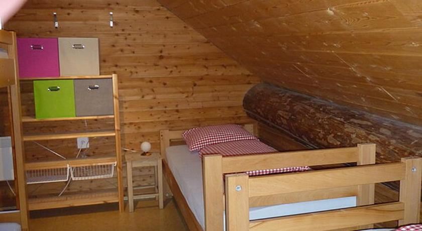
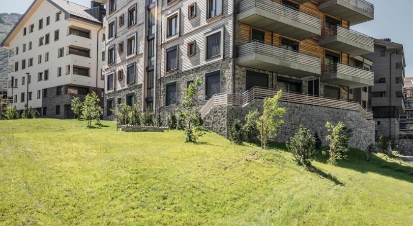
Top hotels near Dammastock

Know more about Dammastock
DammastockThe Dammastock is the highest mountain in the Urner Alps in Switzerland and is part of the Winterberg massif. Its summit ridge forms the border between the cantons of Uri and the Valais. It is the highest summit in the canton of Uri. The tripoint between the cantons of Berne, Valais, and Uri lies near the Eggstock, north of the Dammastock. Politically, the Dammastcok is split between the municipalities of Göschenen and Obergoms.