18 Attractions to Explore Near Dead Horse Ranch State Park
Top Activities Near Dead Horse Ranch State Park
Filter By Date
//
Sort By

Attractions & Activities Near You
Checkout attractions and activities near your current locationAll attractions near Dead Horse Ranch State Park
Tuzigoot National MonumentIt preserves a 2- to 3-story pueblo ruin on the summit of a limestone and sandstone ridge just east of Clarkdale, Arizona. is an elongated complex of stone masonry rooms that were built along the spine of a natural outcrop in the Verde Valley. it has around 110 rooms and it administers 58 acres.
Verde Canyon RailroadThis is a heritage railroad running between Clarkdale and Perkinsville in the U.S. state of Arizona. The passenger excursion line operates on 20 miles of tracks of the Clarkdale Arizona Central Railroad a shortline. The Verde Canyon Railroad has its depot, headquarters, and a railway museum in Clarkdale, about 25 miles southwest of Sedona.
Jerome State Historic ParkJerome State Historic Park is a state park of Arizona, US, featuring the Douglas Mansion, built in 1916 by a family of influential mining entrepreneurs in Jerome, Arizona, a mining region in the northeast of the Black Hills, east Yavapai County. A museum is located in the old Douglas Mansion.
Mingus MountainIt is a mountain located in the U.S. state of Arizona in the Black Hills mountain range. It is located within the Prescott National Forest traversed by State Route 89A approximately midway between Cottonwood and Prescott. There is a complex of the fire tower and associated buildings at the top of the mountain and is listed on the National Register of Historic Places.
Sycamore CanyonSycamore Canyon Wilderness is a 56,000-acre wilderness area in the Coconino, Kaibab and Prescott national forests in the U.S. state of Arizona. The canyon is one of several in Arizona that cut through the Mogollon Rim. Relevant United States Geological Survey map quadrangles are Davenport Hill, White Horse Lake, May Tank Pocket, Perkinsville, Sycamore Basin, and Clarkdale. Red Rock-Secret Mountain Wilderness borders Sycamore Canyon Wilderness on the east.
Red Rock State ParkRed Rock State Park is a state park of Arizona, USA, featuring a red sandstone canyon outside the city of Sedona. The main mission of this day-use park is the preservation of the riparian habitat along Oak Creek. Red Rock State Park serves as an environmental education facility for the public and for school or private groups, and provides limited passive recreational opportunities.
Palatki Heritage SiteThe Palatki Heritage Site is an archaeological site and park located in the Coconino National Forest, near Sedona, in Arizona, United States. In the Hopi language, Palatki means 'red house'. It has a set of ancient cliff dwellings in the red sandstone cliffs, built from 1100 to 1400 CE by the Sinagua people of the Ancestral Puebloans.
Honanki Heritage SiteThe Honanki Heritage Site is a cliff dwelling and rock art site located in the Coconino National Forest, about 15 miles west of Sedona, Arizona. The Sinagua people of the Ancestral Puebloans, and ancestors of the Hopi people, lived here from about 1100 to 1300 AD. The Palatki Heritage Site is nearby, also in the Coconino National Forest.
Cathedral RockCathedral Rock is a natural sandstone butte on the Sedona skyline and one of the most-photographed sights in Arizona. The rock formation is located in the Coconino National Forest in Yavapai County. This trail is a popular short, steep ascent from the Back O' Beyond trailhead to the saddle points or "gaps" in Cathedral Rock
Montezuma Castle National MonumentMontezuma Castle National Monument protects a set of well-preserved dwellings located in Camp Verde, Arizona which was built and used by the Sinagua people, a pre-Colombian culture closely related to the Hohokam and other indigenous peoples of the southwestern United States.
Dry Creek TrailheadDry Creek Trailhead provides access to the one-mile Dry Creek Trail running through grasslands east of Boulder, and attracts many dog walkers. ITs purpose is to serve the people as a multi-use bicycle/pedestrian trailhead and rest area. It was designed to provide access to the regional trail system and offer an opportunity to rest after using the trail. This site saves and replenishes groundwater, tells the agricultural and water history of the area.
Bell RockBell Rock is a popular landmark and tourist attraction just north of the Village of Oak Creek, Arizona, south of Sedona in Yavapai County. With an elevation at its summit of 4,919 feet. People claim that Bell Rock is a "vortex" making it a popular tourist destination and place of meditation.
Chapel of the Holy CrossThe Chapel of the Holy Cross was built in 1956. The chapel was inspired and commissioned by a student of Frank Lloyd Wright, sculptor Marguerite Brunswig Staude, who worked with project architect Richard Hein and architect August K. Strotz to complete this noteworthy and award-winning chapel.
Courthouse ButteCourthouse Butte is a butte just north of the Village of Oak Creek, Arizona, south of Sedona in Yavapai County. Summit elevation is 5,454 feet. Geologically, Courthouse Butte is composed of horizontally bedded sedimentary rock of the Permian Supai Formation.
Devil's Bridge TrailheadDevil’s Bridge Sedona is one of the most popular places to hike and photograph in the area, and no trip to Sedona would be complete without at least one visit to this magnificent place. The first portion of the trail takes you through some beautiful stands of juniper and prickly pear cactus. From there, the elevation quickly starts to climb, growing steeper as you go until the final climb which is quite steep.
Montezuma WellMontezuma well is a detached unit of Montezuma Castle National Monument. It is a natural limestone sinkhole near the town of Lake Montezuma, Arizona, through which some 1,500,000 US gallons of water emerge each day from an underground spring.
V Bar V Heritage SiteThis is the largest known petroglyph site in the Verde Valley of central Arizona, and one of the best-preserved. The rock art site consists of 1,032 petroglyphs in 13 panels. Acquired by the Coconino National Forest in 1994, the site is protected and kept open to the public by the US Forest Service.
Oak Creek CanyonOak Creek Canyon in Sedona, Arizona is one of the most beautiful spots in the state. Here is where people come to interact with Oak Creek Canyon in Sedona, Arizona is one of the most beautiful spots in the state. Here is where people come to interact with nature and its wonders, and where people come to get away from the busy city life with the goal of ultimate relaxation. The canyon is often described as a smaller cousin of the Grand Canyon because of its scenic beauty.and its wonders, and wher
Map of attractions near Dead Horse Ranch State Park
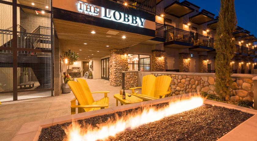
Top hotels near Dead Horse Ranch State Park

Know more about Dead Horse Ranch State Park
Dead Horse Ranch State ParkDead Horse Ranch State Park is a state park of Arizona, United States, on the Verde River in an area known as the Verde River Greenway which covers 423 acres. It also offers trailhead access to the Dead Horse Trail System, located on adjacent Coconino National Forest land. The ranch was originally named by the Ireys family, who sold the land to the state of Arizona to become a state park.