Dead Horse Ranch State Park - 4 Things to Know Before Visiting
National Parks
Things to know
About Dead Horse Ranch State Park
Dead Horse Ranch State Park is a state park of Arizona, United States, on the Verde River in an area known as the Verde River Greenway which covers 423 acres. It also offers trailhead access to the Dead Horse Trail System, located on adjacent Coconino National Forest land. The ranch was originally named by the Ireys family, who sold the land to the state of Arizona to become a state park.Address : 675 Dead Horse Ranch Rd, Cottonwood, AZ 86326, USA
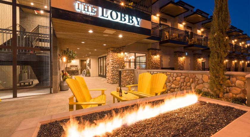
Hotels near Dead Horse Ranch State Park

Top Activities Near Dead Horse Ranch State Park
Filter By Date
//
Sort By
Attractions Near Dead Horse Ranch State Park
Tuzigoot National MonumentIt preserves a 2- to 3-story pueblo ruin on the summit of a limestone and sandstone ridge just east of Clarkdale, Arizona. is an elongated complex of stone masonry rooms that were built along the spine of a natural outcrop in the Verde Valley. it has around 110 rooms and it administers 58 acres.
Verde Canyon RailroadThis is a heritage railroad running between Clarkdale and Perkinsville in the U.S. state of Arizona. The passenger excursion line operates on 20 miles of tracks of the Clarkdale Arizona Central Railroad a shortline. The Verde Canyon Railroad has its depot, headquarters, and a railway museum in Clarkdale, about 25 miles southwest of Sedona.
Jerome State Historic ParkJerome State Historic Park is a state park of Arizona, US, featuring the Douglas Mansion, built in 1916 by a family of influential mining entrepreneurs in Jerome, Arizona, a mining region in the northeast of the Black Hills, east Yavapai County. A museum is located in the old Douglas Mansion.
Mingus MountainIt is a mountain located in the U.S. state of Arizona in the Black Hills mountain range. It is located within the Prescott National Forest traversed by State Route 89A approximately midway between Cottonwood and Prescott. There is a complex of the fire tower and associated buildings at the top of the mountain and is listed on the National Register of Historic Places.
Sycamore CanyonSycamore Canyon Wilderness is a 56,000-acre wilderness area in the Coconino, Kaibab and Prescott national forests in the U.S. state of Arizona. The canyon is one of several in Arizona that cut through the Mogollon Rim. Relevant United States Geological Survey map quadrangles are Davenport Hill, White Horse Lake, May Tank Pocket, Perkinsville, Sycamore Basin, and Clarkdale. Red Rock-Secret Mountain Wilderness borders Sycamore Canyon Wilderness on the east.
Red Rock State ParkRed Rock State Park is a state park of Arizona, USA, featuring a red sandstone canyon outside the city of Sedona. The main mission of this day-use park is the preservation of the riparian habitat along Oak Creek. Red Rock State Park serves as an environmental education facility for the public and for school or private groups, and provides limited passive recreational opportunities.
Discover More Attractions in Yavapai County, Home of Dead Horse Ranch State Park
Yavapai CountyYavapai County is near the center of the U.S. state of Arizona. comprises the Prescott, AZ Metropolitan Statistical Area as well as the northern portions of Peoria and Wickenburg in the Phoenix Metropolitan Area. This county is blessed with many more beautiful places and is one of the key attractions in the Arizona state.
Location of Dead Horse Ranch State Park
Comments
Please Sign In to add your comments
For more information about Dead Horse Ranch State Park, visit : https://www.azcentral.com/story/travel/arizona/road-trips/2018/03/12/dead-horse-ranch-state-park-visitors-guide/335179002/
Looking for hotels nearby. Click here to explore!
This site is protected by reCAPTCHA and the Google Privacy Policy and Terms of Service apply