18 Attractions to Explore Near Poulakerry Castle
Top Activities Near Poulakerry Castle
Filter By Date
//
Sort By

Attractions & Activities Near You
Checkout attractions and activities near your current locationAll attractions near Poulakerry Castle
Kilcash CastleKilcash Castle is an Irish ruined castle in County Tipperary. Situated on the N24 road west of Ballydine, it is believed to date from the 16th century and was gradually extended over the following centuries. This building was partially repaired in the 1980s and is now safe to visit. In the graveyard, the mausoleum contains the tombs with headstones carved with elaborate scenes of the crucifixion.
Coumduala LoughA beautiful lake in Ireland and has an elevation of 472 metres. Coumduala Lough is situated east of Gleananore, close to Comeragh Mountains. It is one of the iconic attraction and there are so many things to explore here.
Comeragh MountainsA beautiful mountain range extending from the River Suir valley near Clonmel to the coastal lowland north of Stradbally. The uplands have been heavily glaciated, resulting in a series of impressive steep-walled carries. The twelve mountains which form the Comeragh Mountains are popular for mountain climbers and hikers and the Comeragh Mountains Walking Festival is held every October and is centred on the Nire Valley.
Main GuardThe Main Guard situated on Sarsfield Street is one of Clonmel’s most recognisable landmarks. It was built at the behest of James Butler the 1st Duke of Ormonde in 1674 to provide the town with a courthouse. The previous building which had served as a courthouse had been destroyed during the Siege of Clonmel in 1650.
Old St. Mary's Church, ClonmelOld St. Mary's Church, also known as St. Mary's Church of Ireland Church, is a medieval church in Clonmel, County Tipperary, Ireland. The Church's main features are a 27 ft square, 84 ft high bell tower, the eastern tower house, and ornate 16th Century east and west windows. The Tower had, at one time, a wooden spire and belfry, which has not been restored. Crenellated parapets suggest that this was a fortified structure.
South Leinster WayThe South Leinster Way is a long distance walking route which runs from Kildavin, Co. Carlow to Carrick-on-Suir in Co. Taking five days to complete, the picturesque South Leinster Way runs southwestwards from the village of Kildavin in County Carlow, through parts of County Kilkenny and finishes in Carrick-on-Suir, County Tipperary.
Ormond CastleThis is the best example of an Elizabethan manor house in Ireland. Built in the 1560s by Thomas Butler, the 10th Earl of Ormond. The U-shape of the manor house surrounds a small courtyard that abuts the north of the castle's bawn. The manor has two floors and a gabled attic. The building contains some fine period furniture and is decorated with unique and elaborate ornate stucco plasterwork in which Black Tom highlight his family’s connections to Queen Elizabeth I.
Sgilloge LoughsSgilloge Loughs is a lake in Ireland and has an elevation of 504 metres. Sgilloge Loughs is situated northeast of Coumalocha, north of Coumfea. It is one of the iconic location in this area for a picnic and also there are so many other adventure opportunities too.
Carey's CastleCarey's Castle, is an absolutely charming and picturesque 18th century structure situated in a glen beside the Glenary River in a scenic woodlands near Clonmel. There is a small lawn with picnic site close to the car park. A walk of about 500m takes you to Carey’s Castle, through mixed woodland and there is a pleasant walking path along the river bank for about 600m.
Coumshingaun LoughThis is an Irish lake, Set in a mountain circus, in the Comeragh Mountains, it is one of the most beautiful lakes in all of Ireland. Surrounded by rock and mountains, its deep, mysterious, oval-shaped waters are a real reward for hikers who come to discover it. The view is spectacular, and well worth a walk to discover it.
Marlfield LakeMarlfield Lake is a wild bird sanctuary located to the south west of Clonmel and just north of the village of Marlfield. It supports a large population of water birds including swans, mallard duck, coots, and herons. The birds are, in fact, quite tame and will approach visitors expecting food to be thrown to them. There is a road along one side of the lake which makes access very easy.
St. Patrick's WellThe historic well of San Patrizio is a structure built by Antonio da Sangallo the Younger in Orvieto , between 1527 and 1537 , at the behest of Pope Clement VII , a veteran of the Sack of Rome and eager to protect himself in the event of a siege of the city in which he had withdrawn. During Antonio da Sangallo's absences the works were entrusted to Giovanni Battista da Cortona, while the decorative parts are by Simone Mosca.
Clonea CastleA majestic castle located in Clonea Lower townland, roughly two and a half miles east of Dungarvan, the castle lay on a rocky outcrop at the edge of the shore by Clonea Beach. It was owned by the Maguire. The structure's entry in National Monuments Service records indicate that it was "not an antiquity", but was built in the late 18th or early 19th century, possibly on the site of an earlier Fitzgerald family fortification.
Knockroe Passage TombThis majestic neolithic tomb was approximately 5000 years old. Known locally as ‘The Caiseal’, it has only been excavated since 1990. There are two chambers on the site: the larger western chamber is aligned so that sunlight at sunset at the winter solstice shines along the passageway. It is National Monument no. 655, managed by the Office of Public Works on behalf of the state.
Monavullagh MountainsMonavullagh Mountains is a mountain in Ireland and has an elevation of 631 metres. It is situated west of Comeraghmountain, close to Seefin. It is one of the iconic location for a trek and also it offers so many stunning views too.
Kilmacthomas ViaductThe Kilmacthomas Viaduct is a former Irish railway viaduct located in County Waterford. It is one of the attractions of the Waterford Greenway, a green cycle route with many tourist sites as stopover points.
Leac an Scail, Kilmogue DolmenLeac an Scail, is one of the tallest and most spectacular examples of a portal dolmen in Ireland, it is located near Knocktopher in County Kilkenny. It has been constructed using a large capstone resting on two large portal stones and a pillow stone resting on a backstone. It is now a visitor attraction and there are so many tourists arriving day by day.
Map of attractions near Poulakerry Castle
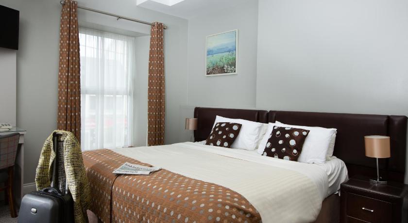
Top hotels near Poulakerry Castle


Know more about Poulakerry Castle
Poulakerry CastleThe early 16th century tower house at Poulakerry was a stronghold of the Butler Fitzwilliams family. The 4/5 storey tower house guarded a crossing over the River Suir, 100 metres to the south. The castle passed from William Butler to his sons Robert and Theobald Butler in the 16th century. The badly damaged castle was repaired and used as a garrison before being passed to John Rathborne. The castle, now missing the battlements, was restored in 1970 and used as a private residence.