18 Attractions to Explore Near Spitzmauer
Top Activities Near Spitzmauer
Filter By Date
//
Sort By

Attractions & Activities Near You
Checkout attractions and activities near your current locationAll attractions near Spitzmauer
Großer PrielThe Große Priel is the only peak in the Dead Mountains that protrudes above the 2500 m mark, and its rocky neighbor, the Spitzmauer, is considered the most beautiful elevation of the Dead Mountains. It ranks among the ultra prominent peaks of the Alps. Part of the Northern Limestone Alps, its steep Dachstein cliffs form the northeastern rim of a large karst plateau and are visible from afar across the Alpine Foreland.
SchiederweiherA beautiful artificial lake in Hinterstoder, Upper Austria, created by impounding the river Krumme Steyr. The pond resides at the altitude of 612 m above sea level at the foot of the Großer Priel in the Totes Gebirge mountain range. Calcium-rich marl covers the lake bottom where stoneworts and common water-crowfoots grow. The southern bank displays a strip of phragmites, other shores only show sparse patches of common reed and a wet meadow borders in the west.
AlmseeAlmsee is a lake in Upper Austria's part of the Salzkammergut in the Almtal valley, 11 kilometers south of the village of Grünau im Almtal. A good picnic and camping location where you have possibilities of fishing bathing and so more. The lake drains through the Alm River. Since 1965, the area around the Almsee is under nature conservation.
Lake ToplitzLake Toplitz is a lake situated in a dense mountain forest high up in the Austrian Alps. It is located in a Nature Reserve, which means that there are restrictions on what activities are permitted there. Swimming. It is fed by beautiful waterfalls as well as an underground tributary from Lake Kammersee.
TauplitzalmThe Tauplitzalm is a high plateau in the Styrian part of the Salzkammergut . The plateau is located in the southeast of the Dead Mountains and is at an altitude of 1600 m above sea level. There is a well-developed tourist infrastructure on the Tauplitzalm , so there are several catering and accommodation establishments, a ski area and, since 1963, a church of its own.
WarscheneckWarscheneck is a mountain of the Totes Gebirge in the Eastern Alps, in Upper Austria. It is located near the town of Liezen, and is a popular mountain for hiking in the summer and ski touring in the winter.
Cumberland Wildlife Park GrünauThe Grünau zoo is home to around 500 animals. At the beginning only native wild animals lived in the wildlife park. In the course of time, animal species from other continents were added, including animal species that are now also living in the wild in Austria, such as raccoons and fallow deer.
SengsengebirgeThe Sengsengebirge is a mountain range of folds in the Upper Austrian Pre-Alps that extends to the north and is part of the Northern Limestone Alps . The heavily karstified mountains consist mainly of Wetterstein limestone , drains mostly underground and is criss-crossed by several large caves, including the Klarahöhle with a length of over 31 kilometers. The highest elevation is at 1963 m above sea level. A. the Hohe Nock .
GleinkerseeA beautiful lake located in the Upper Austria and it is an iconic picnic location and also there are so many other options for leisure too.
OffenseeA beautiful mountain lake located in the Upper Austrian part of the Salzkammergut in the municipality of Ebensee am Traunsee. The nutrient-poor lake, with its largely natural shores and the strongly structured vegetation belt with adjacent wetlands, offers habitats for many animal and plant species; the area has been a nature reserve since 1965. It is a popular swimming lake and excursion destination.
GrundlseeThis is the largest lake in Styria. It is also known as the "Styrian Sea". In Gössl, at the end of the lake, there is a recreation area with water slide and children's play area. Shopping and refreshments are also available nearby. it is one of the iocnioc attraction in this area in the middle of lovely nature.
Pyhrn PassPyhrn Pass is a mountain pass in the Austrian Alps between the Austrian states of Upper Austria and Styria. Since the middle of the 1980s, traffic on the pass has been reduced by the opening of the Bosruck Tunnel for the A9 Pyhrn Autobahn. There has also been a railway tunnel since the nineteenth century. Since the road tunnel was built, the road has not been cleared regularly in winter, and there is a weight limit for trucking.
Trautenfels CastleTrautenfels Castle is enthroned on a rocky outcropping at the foot of the Grimming. The 13th century castle is a historic site for art and culture, with a collection of over 40,000 folkloric, zoological, mineralogical, geological and archaeological objects. In addition, the Antler Room of the Counts of Lamberg, the splendid Marble Hall and the richly decorated State Rooms are also open to visitors.
GrimmingThe Grimming is an isolated peak in the Dachstein Mountains of Austria and one of the few ultra-prominent mountains of the Alps. It is an isolated peak in in this area and one of the few ultra-prominent mountains of the Alps.
Altausseer SeeThe Altausseer See is a mountain lake at the southwest foot of the Dead Mountains in the Styrian part of the Salzkammergut. The center of the municipality of Altaussee is on the west bank . The outlet of the Altausseer See is the Altausseer Traun , which drains via the Traun into the Danube. The lake, with its largely undeveloped shores and adjoining wetlands, offers habitats for many animal and plant species and has been a nature reserve since 1959.
Hoher NockThe Hohe Nock is a karstified plateau mountain in south-eastern Upper Austria . With a height of 1963 m above sea level. A. it towers over the Windischgarstner Basin to the south by around 1400 meters and forms the highest elevation of the Sengsengebirge and the entire Upper Austrian Pre-Alps . The mountain is located in the central area of the Kalkalpen National Park, established in 1997 .
BosruckThe Bosruck is at 1992 m above sea level. A. Height of the westernmost mountain in the Ennstal Alps on the border between Upper Austria and Styria . It is separated from the main ridge of the Haller Walls by the Pyhrgasgatterl and forms its own, ridge-like mountain stock made of limestone. In front of the Bosruck on the ridge to the west are the peaks Lahnerkogel and Kitzstein , to the east is the Frauenmauer .
Dr. Vogelgesang KlammA wild and romantic rock canyon with a doctorate - longest gorge in Upper Austria and second longest gorge in Austria! Experience the natural spectacle of falling water in the longest gorge in Upper Austria with a length of over 1.5 km and 500 wooden and stone steps. The gorge is also the starting point for the approx. 5-hour 3-hut hike
Map of attractions near Spitzmauer
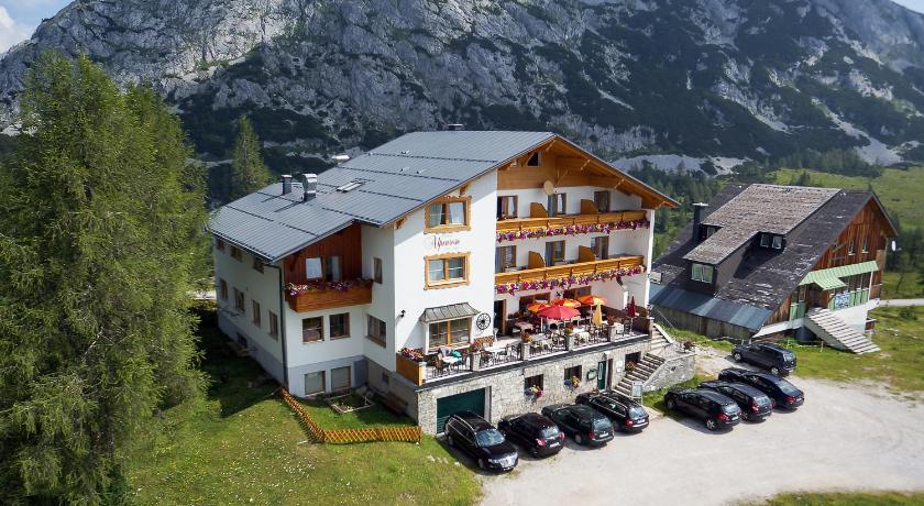
Top hotels near Spitzmauer


Know more about Spitzmauer
SpitzmauerThe Spitzmauer is the second highest mountain in the Dead Mountains in Upper Austria with a height of 2446 m above sea level. The approximately 800 meter high east wall made of banked Dachstein limestone gives the mountain from this side a shapely summit structure that dominates the Stodertal. Some classic tours of the Dead Mountains lead through the east face of the Spitzmauer.