King's Caves - 4 Things to Know Before Visiting
Caves
Things to know
About King's Caves
King's Cave is the largest of a series of seafront caves north of Blackwaterfoot on the Isle of Arran in Scotland. The caves were formed when melting glaciers resulted in a raised beach due to a process called isostatic rebound. Kilmory Parish church records suggest the cave may have been used for church meetings in the eighteenth century, and it’s also said to have been used as a school. Before being known as the King’s Cave it was known as Fingal's Cave after Fionn mac CumhaillAddress : Isle of Arran, UK
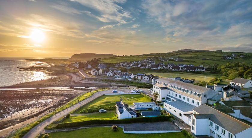
Hotels near King's Caves

Top Activities Near King's Caves
Filter By Date
//
Sort By
Attractions Near King's Caves
Shiskine Golf & Tennis ClubShiskine Golf & Tennis Club was founded in 1896 and is located in the village of Blackwaterfoot, on the beautiful west coast of the Isle of Arran.The course itself has 12 holes and is a seaside links course with wonderful views. Always in great condition, the greens staff take great pride in the course and work very hard to maintain it to a very high standard. We were founded in 1896 and have many “blind” holes with names such as the “Crows Nest” and the “Himalayas”.
St Molios ChurchSt Molios Church stands next to the main road through the village of Shiskine, the only significant settlement on the Isle of Arran not sited on the coast. Popularly known as the "Red Church", for obvious reasons, it was built in 1889 by the architect Sir John James Burnet. The process by which the church came to be dedicated to St Molaise is a complex one. Molios was an Irish monk called Molaise who, in the late 500s spent some years in a cave on Holy Island in Lamlash Bay, on the east side of
Machrie Moor Standing StonesThis rich archaeological landscape includes stone circles, standing stones, burial cairns and cists, as well as hut circles and an extensive field system, all dating to between 3500 and 1500 BC. The stone circles were preceded by elaborate timber circles on exactly the same sites. They were associated with religious activities dating back around 4,500 years. Cremation and inhumation burials were placed in the circles, long after they were first built.
Loch TannaLoch Tanna is a water feature in Scotland and has an elevation of 1079 feet. Loch Tanna is east of Beinn Bharrain.
Beinn TarsuinnBeinn Tarsuinn is a mountain on the Isle of Arran, Scotland. It is the southernmost of the four Corbetts on the island, lying between Glen Rosa to the east and Glen Iorsa to the west. It is often climbed in conjunction with the neighbouring peak of Cìr Mhòr, to which it is linked by a rocky ridge forming the subsidiary top of A' Chìr. The simplest and shortest route up Beinn Tarsuinn is via one of the two ridges on either side of the Coire a' Bhradain; both ridges drop down into Glen Rosa, the u
Discover More Attractions in North Ayrshire Council, Home of King's Caves
North Ayrshire CouncilNorth Ayrshire is one of 32 council areas in Scotland. It has a population of roughly 135,280 people. It is located in the southwest of Scotland, and borders the areas of Inverclyde to the north, Renfrewshire to the northeast and East Ayrshire and South Ayrshire to the east and south respectively. North Ayrshire Council is a hung Council. North Ayrshire also forms part of the east coast of the Firth of Clyde.
Location of King's Caves
Comments
Please Sign In to add your comments
For more information about King's Caves, visit : https://www.mindat.org/feature-2645480.html
Looking for hotels nearby. Click here to explore!
This site is protected by reCAPTCHA and the Google Privacy Policy and Terms of Service apply