18 Attractions to Explore Near Paternkofel
Top Activities Near Paternkofel
Filter By Date
//
Sort By

Attractions & Activities Near You
Checkout attractions and activities near your current locationAll attractions near Paternkofel
Tre Cime di LavaredoThe Three Peaks are a striking mountain range in the Sexten Dolomites on the border between the Italian provinces of Belluno in the south and South Tyrol in the north. The highest elevation of the group is the 2999 m slm high Great Zinne. It stands between the other two peaks, the western pinnacle and the small pinnacle. In addition to these striking rock towers, there are several other summit points in the massif, including the Punta di Frida and the Preuss Tower, also Kleinste Zinne.
Rifugio A. Locatelli/S.InnerkoflerThe Dreizinnenhütte is a refuge of CAI in the Sesto Dolomites at an altitude of 2,405 slm m It is located at the foot of Paterno and offers the famous view of the Three Battlements. The hut is located in the area of the Dolomite War which is clearly visible in the area in the form of former war shelters, walkways, and tunnels The Dreizinnenhütte is the starting point for numerous hiking, via Ferrata and climbing tours in the Drei Zinnen nature park and a popular destination for day-trippers.
Sextener RotwandThe Croda Rossa di Sesto or Cima Dieci is a mountain of the Sesto Dolomites that overlooks the villages of Sesto and Moso, with the summit located inside the park natural Sesto Dolomites, marking the border between South Tyrol and Veneto. Its summit is easily reachable thanks to aided paths that rise from the different sides; is bypassed by the Strada Degli Alpini. Together with other Dolomite peaks, it forms the Sesto sundial.
DürrenseeThe Dürrensee is a lake in the Dolomites in South Tyrol, Italy. It is located near the upper end of the Höhlenstein Valley at an altitude of 1406 m. It can be reached from the south from Cortina d'Ampezzo via the Gemärk and from the north from Toblach in the Pustertal via the road through the Höhlensteintal. The Cristallo group, which belongs to the Ampezzo Dolomites, has its south side in the background.
Lake MisurinaThe Misurina Lake is an alpine lake Natural, the largest of the Cadore and it is 1,754 m s.lm in Misurina, a fraction of Auronzo di Cadore ( Belluno ). The perimeter is 2.6 km while the depth is 5 meters. Lake Misurina is where the speed skating events were held during the 1956 Winter Olympics of Cortina d'Ampezzo – the last time Olympic speed skating events were held on natural ice.
HaunoldThe Haunold is a mountain in the Sesto Dolomites. It is the highest peak in the Haunold group and is located south of Innichen in South Tyrol. It has several peaks: the main summit is 2966 m slm high, the east summit 2907 m, the west summit 2933 m, and the south summit 2860 m. The four peaks of the Haunold are separated from the Birkenkofel massif in the south by the Birkenscharte.
CristalloThe Monte Cristallo is a mountain in the Italian Dolomites. 3,221 m s.lm is the maximum elevation of the Crystal group in Ampezzane Dolomite. It is located in Veneto. It is one of the highest, most majestic, and most famous mountains of all the Ampezzo and Cadore Dolomites. It closes the Ampezzo basin to the north, dividing it from the surrounding valleys. A cable lift system starts from Rio Gere in Val Begontina, first a lift to Rifugio Son Forca at the upper end of Val Padeon.
Toblacher SeeThe Toblacher See is a small, originally rugged alpine lake, which is located in the Höhlensteintal at an altitude of 1259 m in the South Tyrolean municipality of Toblach. The Rienza is its inflow and outflow. The lake has a circumference of about 4.5 kilometers, its volume is estimated at 286,000 cubic meters. It is located in the Fanes-Senes-Braies Nature Park and is protected as a natural monument. The lake was formed in ancient times as a result of numerous landslides.
HelmMount Elmo is a mountain in the Carnic Alps, on the border between ' Italy and the' Austria, in one of the few areas where the political boundary goes far beyond the watershed of Alps. The physical border passes, in fact, from the saddle of Dobbiaco, but in 1919 for military reasons the basin of San Candido and the valley of the Rio Sesto were attributed to Italy. Mount Elmo is the largest ski area in Alta Pusteria. It is also part of the Tre Cime di Lavaredo ski area and therefore of the Dolom
HochpustertalThe eastern part of the Pustertal located on the upper reaches of the Drau is often referred to as Hochpustertal . The term is not precisely defined. On the South Tyrolean side, the section between Niederdorf and the Italian-Austrian border , including the side valleys of Sexten and Braies , is usually included in the Hochpustertal, in East Tyrol the further course from Sillian to Lienz .
Lake SorapisThe Lake Sorapiss is a lake in northern Italy, in sorapiss of the Dolomites, in the province of Belluno, in Veneto, 12 km from Cortina d'Ampezzo, at an altitude of 1923 meters above sea level, in a suggestive natural scenery. The small lake is surrounded by a crown of high mountains Ra Zesta, Cime Ciadin del Loudo. It freezes densely in winter, the frozen mirror remains until the beginning of summer.
Pragser WildseeThe Lake Braies is a small alpine lake located in the Braies Valley at 1,496 m above sea level in the municipality of Braies, about 97 km from Bolzano. The lake lies at the foot of the imposing rock face of the Croda del Becco and is located within the Fanes - Sennes e Braies nature park. is one of the deepest lakes in the autonomous province of Bolzano, with a maximum depth of 36 meters and an average depth of 17 meters.
Parco Naturale di Fanes-Sennes-BraiesThe Fanes-Sennes-Braies nature park is a protected natural area in the autonomous province of Bolzano. It was established in 1980, and occupies an area of 25,453 hectares and is one of the largest parks in South Tyrol. The park borders to the north with the Val Pusteria, to the west with the Val Badia to the south with the border between Alto Adige and Veneto or with the Val Travenanzes, and to the east with the Tre Cime nature park , precisely with the Val di Landro.
Lago di Centro CadoreThe Centro Cadore Lake, or simply Cadore Lake, is one of an artificial lake located in the historical and geographical region of Cadore, along the upper reaches of the river Piave. The 2.3 km² basins originated in the 1950s with the construction of the Pieve di Cadore dam, in the Sottocastello area. Narrow and long in shape with a south-north orientation, it reaches the town of Lozzo di Cadore, also involving the municipalities of Calalzo di Cadore, Domegge di Cadore, and Lorenzago di Cadore.
Cinque TorriThe Cinque Torri are a small mountain complex that is part of the Nuvolau group, within the Ampezzo Dolomites, north-west of San Vito di Cadore and south-west of Cortina d'Ampezzo. The Cinque Torri, like all the mountain formations in the area, is made up of Dolomia rock, with a particular pale gray color. The complex is made up of five rock spurs and a maximum altitude of 2,361 m asl.
Val VisdendeThe Visdende Valley is an alpine valley of the Comelico located in Santo Stefano di Cadore and Sappada. The name derives from the Latin vices, that is, from the alternation in the custody of livestock practiced there in past centuries. The valley, a place of undisputed naturalistic value surrounded by majestic spruce woods, was severely hit by the Tempesta Vaia at the end of October 2018, which led to the destruction of about a quarter of the entire forest heritage, or 150 thousand cubic meters
Cinque TorriCinque Torri is a small resort mountain in the Italian region of the Veneto. It has an elevation of 2,361 meters above sea level. It is part of the Nuvolau group, 1 in the interior of the Ampezzo Dolomites, northwest of San Vito di Cadore and southwest of Cortina d'Ampezzo. In summer it is possible to make excursions through the forests and on prepared trails. This area was the scene of fierce fighting between Italian and Austro-Hungarian troops during the Great War.
Mauria PassThe Mauria Pass is an Alpine pass in the Carnic Alps that connects the Veneto to the west with Friuli-Venezia Giulia to the east through the Strada Statale 52 Carnica. The road is full of counter-slope curves immersed in the green alpine landscape, ideal for motorcyclists in the summer; in winter on the Cadore side, there is an illuminated cross-country skiing facility. Halfway, still on the Cadore side in the locality of Borbe, the 4th Piano Festival is famous, a well-known Review of local musi
Map of attractions near Paternkofel
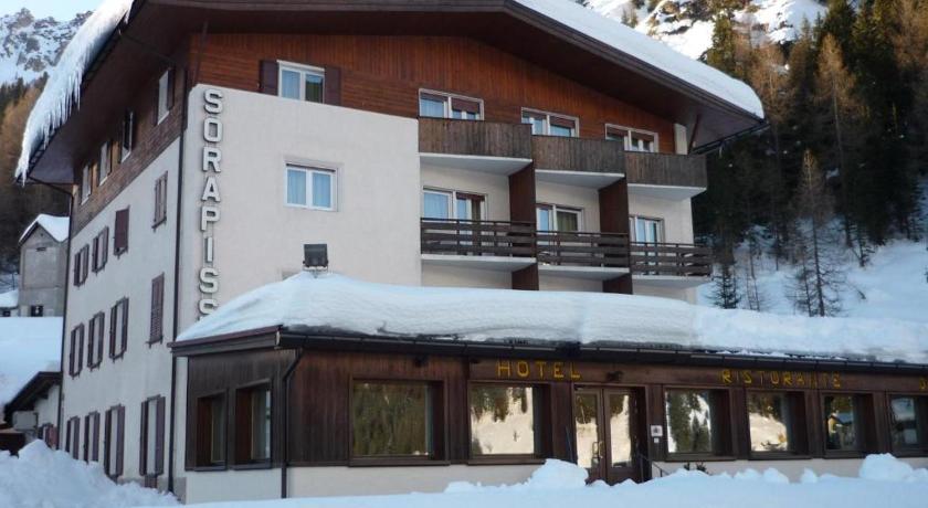
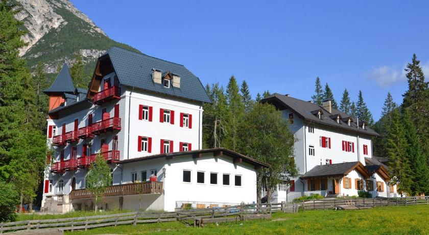
Top hotels near Paternkofel

Know more about Paternkofel
PaternkofelThe Paternkofel is a 2744 m high mountain in the Sesto Dolomites on the border between South Tyrol and the province of Belluno in Italy. The South Tyrolean shares are placed under protection in the Drei Zinnen nature park. During the First World War, it was fiercely contested between Austrians and Italians, which is still demonstrated today by the positions and climbing systems.