Portoriel - 4 Things to Know Before Visiting
Man-made Structures - Other
Things to know
About Portoriel
Port Oriel is a fishing port with a large fleet, and also the harbour provides a platform for onshore sea fishing for anglers. Port Beach in the centre of the village is a Blue Flag beach with the Neptune watersports centre which is run by the local Council. The centre is the location for Celtic Adventures which provides schools and groups with a range of sports and training services including watersports, archery and climbing.Address : Glaspistol, Portoriel, Co. Louth, Ireland
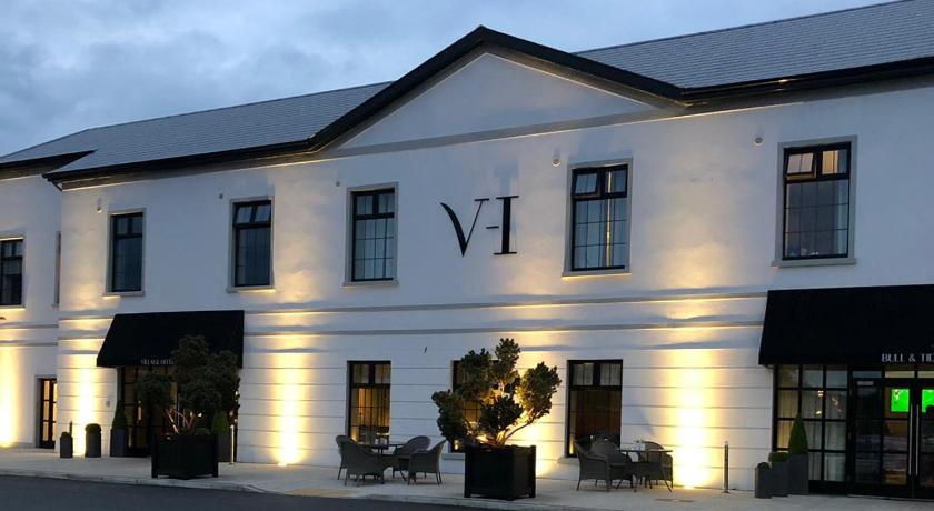
Hotels near Portoriel
2 Reviews
8.6
$157.12 per nightSelect

11 Reviews
8.7
$161.33 per nightSelect
Top Activities Near Portoriel
Filter By Date
//
Sort By
Attractions Near Portoriel
Termonfeckin CastleA majestic rectangular three-storey building dates from the 15th/16th century. Its most unusual feature is the corbelled roof, similar to the technique used for the Newgrange chamber roof, which is on the third storey. This castle was damaged in the Irish Rebellion of 1641 but was later repaired by a Captain Brabazon. It is now a National Monument.
Beaulieu House and Garden. Closed.A majestic house which was built by Sir Henry Titchbourne, Marshal of the Army in Ireland, and Governor of Drogheda. It is believed to be the finest example of Irish domestic architecture to survive from the Restoration. Inside the impressive house the walls are adorned with excellent family portraits, as well as a superior collection of the works of many famous Irish artists of the early part of the 20th-century. It is one of the earliest unfortified major houses built in Ireland.
Bettystown BeachBettystown Beach is a sandy beach in a popular seaside resort. The beach is a long beach stretching from the River Boyne on the border of County Meath and County Louth in the north down to the River Nanny at Laytown to the South. This southern stretch is Laytown beach.
Boyne ViaductThe Boyne Viaduct, a 30-metre-high railway bridge, or viaduct, that crosses the River Boyne in Drogheda, carrying the main Dublin–Belfast railway line. During World War II, the viaduct was identified by the British as being of great strategic importance as part of the British plans for a counter-attack following a German invasion of Ireland.
Magdalene TowerMagdalene Tower is a landmark located at the highest point of the northern part of Drogheda, County Louth, in Ireland. The tower itself is of 14th-century construction. It springs from a fine Gothic Arch, above which there are two further storeys connected by a spiral staircase.
Discover More Attractions in Louth, Home of Portoriel
Location of Portoriel
Comments
Please Sign In to add your comments
For more information about Portoriel, visit : https://en.wikipedia.org/wiki/Clogherhead
Looking for hotels nearby. Click here to explore!
This site is protected by reCAPTCHA and the Google Privacy Policy and Terms of Service apply