Earl's Seat - 4 Things to Know Before Visiting
1 Day Treks
Mountain Peaks
Things to know
About Earl's Seat
Earl's Seat is the highest hill of the Campsie Fells in Central Scotland. It lies on the border of Stirlingshire and East Dunbartonshire in central Scotland. Located on a plateau in the heart of the Campsies above the village of Strathblane, its summit is marked by a trig point. A good trekking destination and also a good viewoint.Address : Earl's Seat, Glasgow G63 0LL, UK
Hotels near Earl's Seat
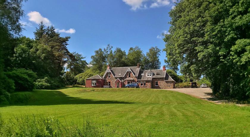
2 Reviews
6.4
$95.20 per nightSelect
Top Activities Near Earl's Seat
Filter By Date
//
Sort By
Attractions Near Earl's Seat
Campsie FellsThe Campsie Fells are a range of gently rolling hills in central Scotland set just 19km north of the city of Glasgow. A popular area for walking, the highest point of the range is Earl’s Seat which rises to 578m. The range overlooks the villages of Strathblane, Blanefield, Milton Of Campsie, Lennoxtown and Torrance to the south; Killearn to the west, and Fintry and Strathendrick to the north.
Glengoyne DistilleryThe Glengoyne distillery is the most southern distillery of the Scottish Highlands. The Distillery was founded in 1833 by a local farmer called George Connell. Glengoyne is unique in producing Highland single malt whisky matured in the Lowlands. Located upon the Highland Line, the division between the Highlands and Lowlands of Scotland, Glengoyne’s stills are in the Highlands while maturing casks of whisky rest across the road in the Lowlands.
DumgoyneDumgoyne is a hill prominent on the edge of the Campsie Fells and is a well-known landmark visible from Glasgow. It is a volcanic plug and is 427 m high. The plug is readily reached from a path beside Glengoyne Distillery or via a water-board track from the contiguous villages of Strathblane and Blanefield 3 miles to the east or Killearn to the west. A good trekking destination and also it offers beautiful views of this area.
Endrick WaterThe Endrick Water is a river which flows into the eastern end of Loch Lomond, Scotland. Its drainage basin covers a large part of the west of Stirling District. The river flows through Strathendrick, the village of Fintry and past Balfron and Drymen before entering Loch Lomond.
Mugdock CastleMugdock Castle is located in Mugdock Country Park, just west of the village of Mugdock. Built in the 14th century by the Graham family, more recent modifications and expansions created a residence with a sizeable footprint, including a chapel, large domestic ranges and walled gardens. The castle is within the registration county of Stirlingshire, although it is only 2 kilometres north of Milngavie, East Dunbartonshire, on the northern outskirts of Greater Glasgow.
Mugdock Country ParkMugdock Country Park is a country park and historical site located partly in East Dunbartonshire and partly in Stirling, in the former county of Stirlingshire, Scotland. The park includes the remains of the 14th-century Mugdock Castle, stronghold of the Grahams of Montrose,and the ruins of the 19th century Craigend Castle, a Gothic Revival mansion and former zoo.
Discover More Attractions in Stirling, Home of Earl's Seat
Location of Earl's Seat
Comments
Please Sign In to add your comments
For more information about Earl's Seat, visit : https://en.wikipedia.org/wiki/Earl%27s_Seat
Looking for hotels nearby. Click here to explore!
This site is protected by reCAPTCHA and the Google Privacy Policy and Terms of Service apply