18 Attractions to Explore Near Grasmere
Top Activities Near Grasmere
Filter By Date
//
Sort By

Attractions & Activities Near You
Checkout attractions and activities near your current locationAll attractions near Grasmere
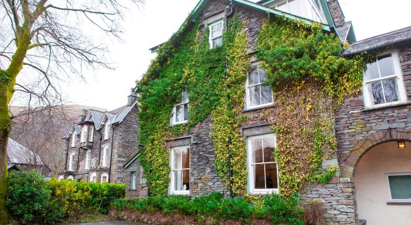
National Trust - Allan BankA Georgian villa and former home of English poet, William Wordsworth. Today the house is a National Trust property that has only recently been open to the public. Unlike most other National Trust properties, Allan Bank is not a recreation of a period property and many rooms are stripped back, allowing visitors to use their imagination about the building’s potential.
Wordsworth GrasmereDove Cottage in Grasmere, was William Wordsworth‘s home from 1799 to 1808. Here Wordsworth produced the most famous and best-loved of his poems, and his sister Dorothy kept her famous Grasmere journals. He was there with his sister Dorothy from 1799 to 1808 and penned the line "I wandered lonely as a cloud" after being inspired by flowers the pair had seen on the shores of Ullswater.
Helm CragHelm Crag is a well-known peak just northwest of Grasmere. It’s the fells distinctive rocky profile that lends itself its alternative name ‘The Lion and the Lamb’. The mountains true summit is a cannon shaped barrel of rock known as The Howitzer and stands just over 25ft high. It gives an exhilarating little climb, a brief essay in real mountaineering, and, in a region where all is beautiful, it makes a notable contribution to the natural charms and attractions of Grasmere."
Rydal WaterRydal Water is one of the smallest lakes at 3/4 mile long, 1/4 mile wide and with a depth of 55 feet, but it is very popular partly because of its Wordsworth connections. Steps lead up from the western end of the lake to ‘Wordsworth’s Seat’ – reputedly the poet’s favourite viewpoint. The lake is both supplied and drained by the river Rothay, which flows from Grasmere upstream and towards Windermere downstream.
Loughrigg FellLoughrigg Fell is a superb vantage point for the surrounding fells. For one so short in stature it makes up for any lacking in height by having fantastic views all around and an interesting, complicated top. It is flourished with beautiful woodland, craggy fells, stunning views and lots of those quintessential dry stone walls. One of the nice trekking destinations with tremendous views.
Great LangdaleThe Great Langdale valley is a beautiful location some 12,170 acres, much of it in the care of the National Trust. The valley stretches from Ambleside through Clappersgate, Skelwith Bridge, Elterwater, Chapel Stile, to the Dungeon Ghyll Hotel, and the glaciated valley of Mickleden. It is a popular location for hikers, climbers, fell-runners and other outdoor enthusiasts who are attracted by the many fells ringing the head of the valley.
Rydal Mount & GardensAn interesting Victorian garden, well maintained because it belonged to the poet, William Wordsworth, from 1815 to 1850. It has trees, shrubs, grass terraces, a summerhouse, and herbaceous borders in design terms, close to the Loudon's Gardenesque Style. The house, which was a focus for romantic literature, continues to be owned by the Wordsworth family and retains the feel of a lived in family home.
Easedale TarnEasedale Tarn is a tarn in the center of the English Lake District, about two miles west of the village of Grasmere. With plenty of stone bridges for trolls to hide under, waterfalls plunging into pools, and a mountain tarn surrounded by an amphitheater of fells, this walk is truly spectacular. The path up is a little loose under foot and rocky but really this is a straightforward and pleasant walk. The ring of mountains is suitably impressive.
Lake District National ParkThe Lake District National Park, in North West England, is the largest national park in the country, occupying 885 sq mi. It is considered one of England's most scenic regions and is the country's premier destination for hiking and climbing. The park lies entirely within the modern county of Cumbria, shared historically by the counties of Cumberland, Westmorland, and Lancashire. Known as much for its mountain peaks as its lakes, the park is home to England's tallest mountain, Scafell Pike, and i
Grisedale TarnNestling high in the mountains at the head of three valleys in a great scoop Grisedale Tarn has an atmospheric setting. Squeezed by the southern guardian of the great Helvellyn ridge - Dollywaggon Pike to its north, and the bulks of Fairfield and Seat Sandal to the south, its outflow treks north east through the long valley of Grisedale to the village of Patterdale.
Blea TarnBlea Tarn lies high above Great Langdale on the pass to Wrynose. This walk offers a great opportunity for all to get out into the fells safely, while enjoying brilliant views of Lingmoor and Pike of Blisco and other surrounding Langdale fells. One of the picturesque location which offers immense natural beauty and also you can spend some nice time there.
Kirkstone PassKirkstone Pass is a beautiful and the Lake District’s highest pass that is open to motor traffic. The road is very steep and narrow, with a gradient of 1 in 4. This steep twisty road connects Ambleside in the Rothay Valley to Patterdale in the Ullswater Valley. Winter conditions can be hazardous. It was once a vital coaching inn, it now caters primarily for tourists. It is the third-highest public house in England.
BaystonesBaystones is a summit in the Lake District – Far Eastern Fells region or range in England. Baystones (Wansfell) is 486 metres high. All the walking routes up Baystones (Wansfell) on Mud and Routes can be found below. One of the nice trekking destination and also you can spend some good times there.
HelvellynHelvellyn is the 3rd highest mountain in the Lake District and England. This narrow ridge has a reputation of being scary and difficult. The scenery includes three deep glacial coves and two sharp-topped ridges on the eastern side. Helvellyn was one of the earliest fells to prove popular with walkers and explorers.
Tarn HowsOne of the beautiful spots that are most visited in Lakeland. Its sheer beauty surrounded by thick woodland and views towards Wetherlam, the Helvellyn range, and the Langdale Pikes. Tarn Hows is fed at its northern end by a series of valley and basin mires and is drained by Tom Gill which cascades down over several small waterfalls to Glen Mary bridge: named by John Ruskin who felt that Tom Gill required a more picturesque name and so gave the area the title 'Glen Mary'.
Brothers WaterBrothers Water is in the Hartsop valley and is a small lake in the eastern region of the Lake District. The lake is located at the foot of Kirkstone Pass, where the road climbs from the valley of Patterdale before descending to the more visited areas of Ambleside and Windermere. The small lake sustains a trout population and is one of four locations in the Lake District to harbour a rare species of fish, the Schelly.
Brockhole on Windermere, The Lake District Visitor CentreBrockhole on Windermere, The Lake District Visitor Centre is a visitor centre and tourist attraction managed by the Lake District National Park Authority set in 30 acres of magnificent terraced gardens and grounds stretching down to the shore of Windermere lake, with splendid views of the surrounding countryside. The centre organises a number of activities, including orienteering, kayaking and open water swimming, as well as regular exhibitions.
ThirlmereThirlmere is a reservoir in the Borough of Allerdale in Cumbria and the English Lake District. The Helvellyn ridge lies to the east of Thirlmere. To the west of Thirlmere are a number of fells; for instance, Armboth Fell and Raven Crag both of which give views of the lake and of Helvellyn beyond. It occupies the site of a former natural lake: this had a fordable waist so narrow that it was (and is) sometimes regarded as two lakes.
Map of attractions near Grasmere
Top hotels near Grasmere
12 Reviews
8.6
$129.43 per nightSelect
Know more about Grasmere
GrasmereGrasmere is perhaps best known as the home of William Wordsworth, a place he once described as "The most loveliest spot that man hath found." Set alongside Grasmere Lake, Grasmere is shrouded by a panorama of fells and mountains that provide the atmosphere so beloved of Wordsworth and the Romantic poets. Old cottages, faced with pebbledash, and houses of bluish-green local slate vie for attention along the twisty streets of the village.