18 Attractions to Explore Near Vittorio Sella Refuge
Top Activities Near Vittorio Sella Refuge
Filter By Date
//
Sort By

Attractions & Activities Near You
Checkout attractions and activities near your current locationAll attractions near Vittorio Sella Refuge
Giardino botanico alpino ParadisiaThe Paradisia alpine garden is located in Valnontey, at 1700 meters above sea level and within the Gran Paradiso national park. The garden was born in 1955 at the behest of the board of directors of the Gran Paradiso national park, with the aim of preserving and enhancing the flora of the park. The task of establishing the garden is entrusted to prof. Corti and prof. Peyronel, while the site was chosen by virtue of the favorable position that allows to the reproduction of different habitats.
GrivolaThe Grivola is a mountain of the Gran Paradiso massif, in Graian, high 3,969 m above sea level. It is located along the divide between Valsavarenche and Val di Cogne in Valle d'Aosta between the villages of Cogne, Valsavarenche, and Aymavilles. It is the third-highest in the Gran Paradiso massif. A nice trekking destination and also this peak offers the best panoramic views of this area.
Parco Nazionale Gran ParadisoThe Gran Paradiso National Park is the oldest national park in Italy, established on December 3, 1922, located between the Valle d'Aosta and Piedmont regions, around to the Gran Paradiso massif, managed by the Gran Paradiso National Park Authority, based in Turin. Extending over an area of 71,043.79 hectares, on mainly mountainous terrain, on the French side it borders the Vanoise National Park.
Rifugio Federico ChabodThe Federico Chabod refuge is a refuge located in the municipality of Valsavarenche, in Valsavarenche, in the Graian Alps, at 2,710 m asl. It is named after Federico Chabod historian and mountaineer of the Aosta Valley. It is located in the Côte Savolère area at the foot of the north-west face of the Gran Paradiso and within the Gran Paradiso National Park. One of the picturesque location and also you can reach here by facing several challenges.
Gran Paradiso massifThe Gran Paradiso Massif is a mountain massif of the Graian Alps, consisting of the Gran Paradiso and a large part of the Gran Paradiso Alps, which is located entirely in Italian territory, straddling the Valle d'Aosta and Piedmont, east of the Grande Sassière and Rutor Alps, south-west of the Emilius-Tersiva chain. The southern section extends as far as Piedmont until it reaches the Colle del Nivolet.
Cascate di LillazA beautiful waterfall with three water jumps of the Urtier stream for a total of 150 meters in height. The waterfalls can be admired in their fullness thanks to the paths that flank them and which allow the discovery of the three levels of which it is composed, a characteristic that distinguishes it from more vertical waterfalls but which make it unique in its kind.
Gran ParadisoThe Gran Paradiso, highest mountain, 13,323 ft, entirely within Italy and the culminating point of the Graian Alps. It includes a large territory of high mountains, from the 800 meters of the valley bottoms to the 4,061 meters of Gran Paradiso peak. Larch and fir woodlands, wide alpine grasslands, rocks, and glaciers make up an ideal setting for the life of a rich and various wildlife and for a visit leading to the discovery of the wonderful world of the high mountains.
TresentaLa Tresenta is a mountain of the Gran Paradiso massif in the Graian Alps, located along the border between Piedmont and Valle d'Aosta. The normal ascent route starts from the Vittorio Emanuele II Refuge. From the refuge, you first climb the moraine and then the Montcorvé Glacier. After the glacier, go up the north-west slope of detrital nature. From the top, you can enjoy a wide view. On one side there is the highest mass of the Gran Paradiso, on the other the elegant shape of the slightly high
Rifugio Vittorio Emanuele IIThe Vittorio Emanuele II refuge is an alpine refuge on the shores of Lake Moncorvé, located in the municipality of Valsavarenche (AO) in Valsavarenche in the Graian Alps, in the heart of the Gran Paradiso national park, at 2,732 m. The old refuge, built-in 1884 and still in use, was flanked by the current building with a parabolic roof, inaugurated in 1961. Both are dedicated to the first king of Italy Vittorio Emanuele II of Savoy, a great visitor to the area as a royal hunting reserve.
Monte EmiliusMount Emilius is a mountain of Graian, located in Valle d'Aosta, close to Aosta. The Unité des Communes valdôtaines Mont-Émilius, which brings together 10 municipalities of the Plaine, takes its name from this mountain. This mountain was formerly known as Pic de dix heures, meaning "10 a.m. peak" in French, as the sun stands right on top of it at 10 am, or even as Pic Chamosser or Pic Chamoisier. One of the good trekking destination and also a picturesque spot.
Pont d'AëlThe pont d'Aël is a Roman aqueduct bridge that is located in the namesake village in the municipality of Aymavilles, in Aosta. It was built in 3 BC for the irrigation and supply of a mineral wash for the colony of Augusta Prætoria Salassorum, today's Aosta, then just founded. The bridge, located at the entrance to the Val di Cogne, a lateral valley, 66 meters above the valley floor, supports a technically advanced aqueduct, 6 km long in total.
Sarre Royal CastleThe royal castle of Sarre is an Aosta Valley castle, located in the municipality of Sarre, in the locality of Lalex, in the Aosta Valley. Built-in 1710 on the ruins of a fortress mentioned as early as 1242, having passed through various hands, the property was purchased by the King of Italy Victor Emanuel II, who renovated it and used it during hunting expeditions in Val d’Aosta. It was one of the iconic buildings in this area which paves light to the history of this area.
Castle Sarriod de La TourThe Sarriod de La Tour castle is a medieval Aosta Valley manor located in the municipality of Saint-Pierre, in the flat area planted with orchards that run along the Dora Baltea and the SS26, on the opposite side of the village from the more famous castle of Saint-Pierre. Looking at it from the top of the Saint-Pierre castle, the Sarriod de La Tour castle appears as an irregular set of buildings surrounded by walls, located in a flat area a little outside the town and close to the Dora Baltea.
Castle of Saint-PierreThe castle of Saint-Pierre is an Aosta Valley manor, located in the municipality of the same name. Due to its very scenic appearance, it has become, together with the castle of Fénis, one of the symbolic monuments of the region. It houses the Regional Museum of Natural Sciences of the Aosta Valley. It is one of the oldest in the Aosta Valley and its existence is mentioned for the first time in a document dated 1191.
PilaPila ( Pila in Piedmontese ) is an Italian town of 139 inhabitants in the province of Vercelli in Piedmont . It is located in Valsesia. The municipal area of Pila has very marked variations in altitude: the valley floor is located at about 686 meters above sea level while the highest point, albeit uninhabited, is located at 1,912 meters above sea level.
Colle del NivoletThe Colle Nivolet is a mountain pass located in Graian, the watershed between the Orco Valley and Valsavarenche, placed all inside the protected area of the Gran Paradiso National Park to the west of the homonymous massif, not far from the Italian- French border to the west. The road that, starting from 1580 m asl of Ceresole Reale climbs for 18.5 km up to the Nivolet hill, was built in 1931, with the main function of allowing easy access to the artificial reservoirs located at an altitude of ab
Lago MisérinThe lake Misérin is located in the upper Champorcher valley at an altitude of 2,577 m above sea level. The church is the destination at the beginning of August of a historic pilgrimage that brings together faithful from both the Soana Valley. The lake area is a good point of view on the peaks of the valley, including the Rosa dei Banchi and Mont Glacier. The Ayasse stream takes shape from the waters of the lake and runs through the entire Champorcher valley.
AostaThe Valle d'Aosta / Vallée d'Aoste is an Italian region with a special statute of north-western Italy, with the capital Aosta, from which it takes its name, which is part of the Alps-Mediterranean Euroregion. it is the smallest region in Italy with 3 263 km² of surface and also the least populated one with 124968 inhabitants, with a completely mountainous territory, bordering to the north with Switzerland.
Map of attractions near Vittorio Sella Refuge
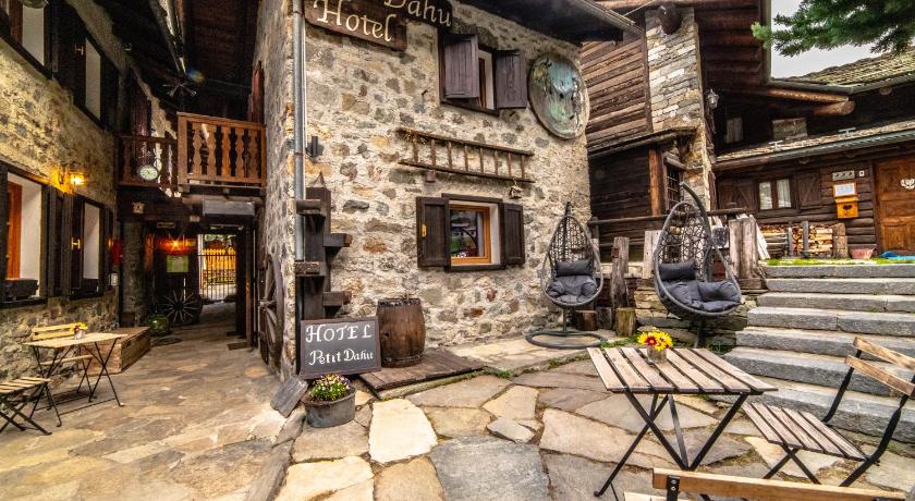
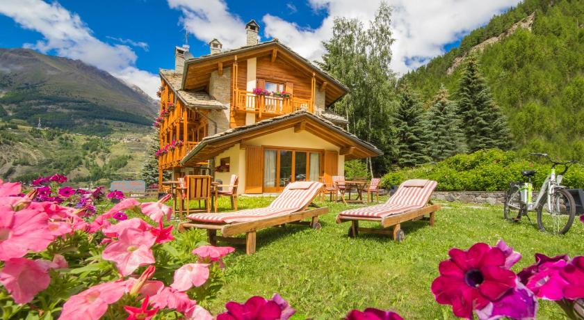
Top hotels near Vittorio Sella Refuge


Know more about Vittorio Sella Refuge
Vittorio Sella RefugeThe Vittorio Sella refuge is a refuge located in the municipality of Cogne, in the Val di Cogne, in the Graian Alps, at 2,584 m asl. On the site there was an ancient hunting house known as the Lauson since the nineteenth century, belonging to King Vittorio Emanuele II who went here to hunt the ibex. It is located within the Gran Paradiso national park in the Lauson basin, hence the name by which it is sometimes called.